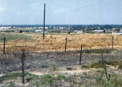
10) View north of the perimeter minefield, and town of Đông Hà Air Field beyond.
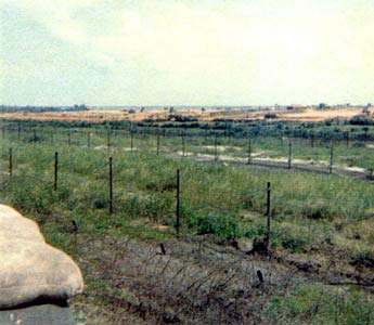
11) Perimeter Bunker #31, on the southeast corner of the base.
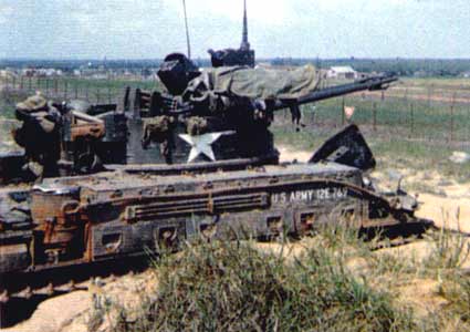
12) US Army Battery twin 40mm track in position on the east berm perimeter.
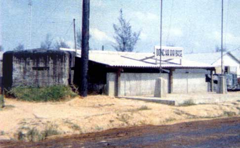
13) Underground Security Police Command Post. It had communication with
our posts by radio and landline. Also communication with the Marine
CP (Rear Point), and Đà Nàng Air Base. Note the old French Bunker
next to it.

14) East berm perimeter, on the right, with the US Army twin 40mm track
barely
visible in the distance along the berm's top. Barbed wire and minefield
is on the left.
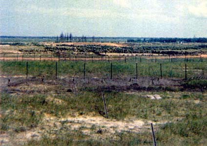
15) View of east perimeter minefield and Highway #1 in the distance
along the treeline. Take
Highway #1 right to go to Quang Tri City. About 15 miles south. Quang
Tri City was the provincial
capital of Quang Tri Province. It was flattened by NVA artillery and
tanks during the 1972 Easter
Offensive, and no longer exists. Đông Hà Air Field is now the capital of Quang
Tri Province.
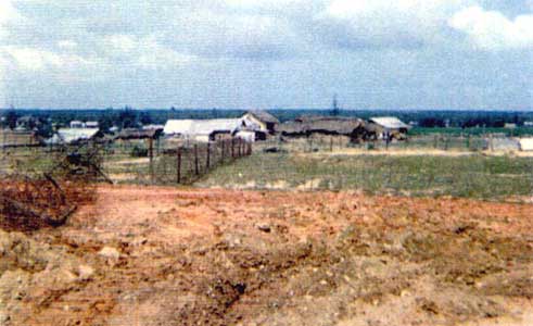
16) A small ville just outside perimeter
on the northeast corner of the base.
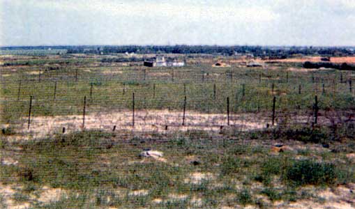
17) View of the east perimeter, and a Pagoda just beyond.
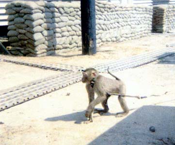
18) Our Mascot, Josephine.
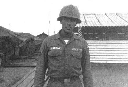
19) Đà Nàng Air Base, August 1966. A1C Terry Sandman at what used to
be called "Camp Đà Nàng".
In the background can be seen the tent living quarters. When I came
back through Đà Nàng in July
1967 this area had two story barracks on the site. There was a VC rocket
attack on the Air Base my
first night back, in July of 1967, and one of the two
story barracks took a direct hit.
Also, the Ammo Dump took a hit
that made one heck of an explosion!
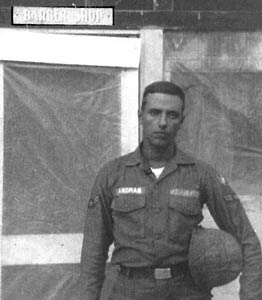
20) Đà Nàng Air Base August 1966. The barber shop at Camp Đà Nàng.