| Đà Nàng Air Base: Satellite Photos | ||
|---|---|---|
| Vietnam | ||
Satellite of
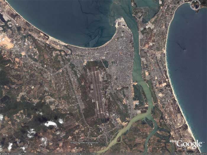 DN AB, imaged Fly Over at 10 Miles altitude. DN AB, imaged Fly Over at 10 Miles altitude.
| ||
Satellite of
 DN AB, imaged Fly Over at 13,924 feet altitude. DN AB, imaged Fly Over at 13,924 feet altitude.
| ||
Satellite of
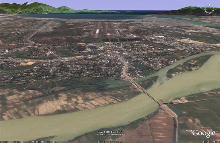 DN AB, imaged/angled North at 1,545 feet altitude. DN AB, imaged/angled North at 1,545 feet altitude.
| ||
Satellite of
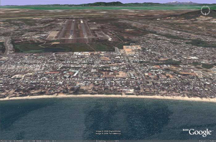 DN AB, imaged/angled South at 1,526 feet altitude. DN AB, imaged/angled South at 1,526 feet altitude.
| ||
Satellite of
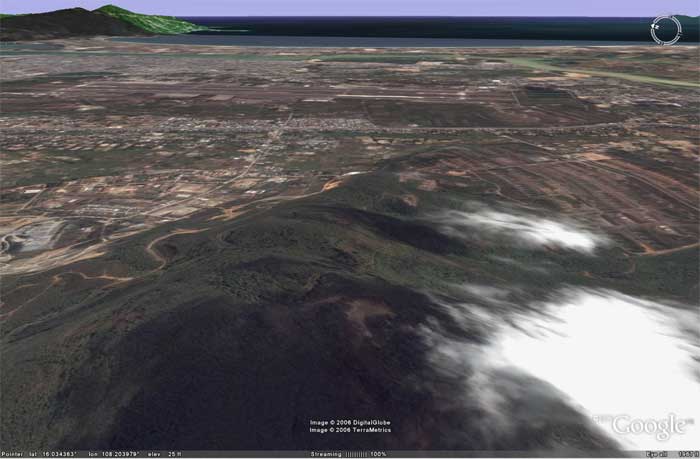 DN AB, imaged/angledEast view at 1,545 feet altitude. DN AB, imaged/angledEast view at 1,545 feet altitude.
| ||
Satellite of
 DN AB, imaged/angled West at 13,934 feet altitude. DN AB, imaged/angled West at 13,934 feet altitude.
| ||
Satellite of South End of Runway - Crash of Flareship
| ||