Nui Dat Air Base was an Australian military base in South Vietnam during the Vietnam War, constructed in 1966. |
||
 |
||
|
||
|
||
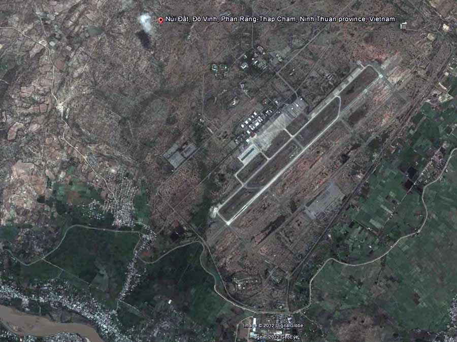 1. Google Satellite image (current). Nui Dat hill is west of Phan Rang AB: and marked by the red pin. |
||
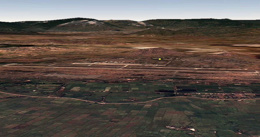 2. Google Satellite image (current). Phan Rang AB. Nui Dat hill is center/right and marked by the yellow dot at its base. |
||
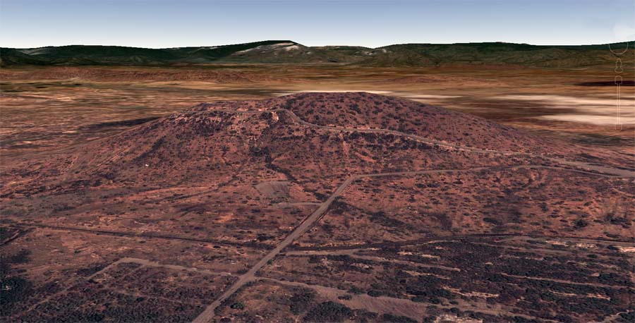 3. Google Satellite image (current). Nui Dat hill. |
||
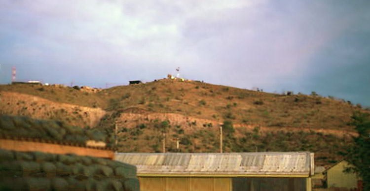 4. Nui Dat hill, as viewed from base area below. Photo by Stan Reeves, ND 1967. |
||
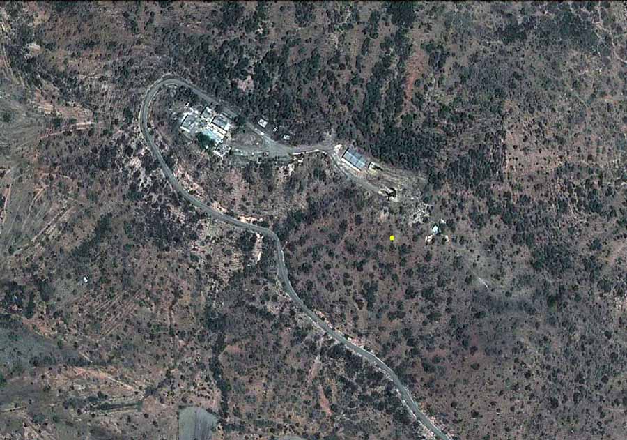 5. Google Satellite image (current). Nui Dat hill, overhead view. Yellow dot marks 180.30 meters high. |
||
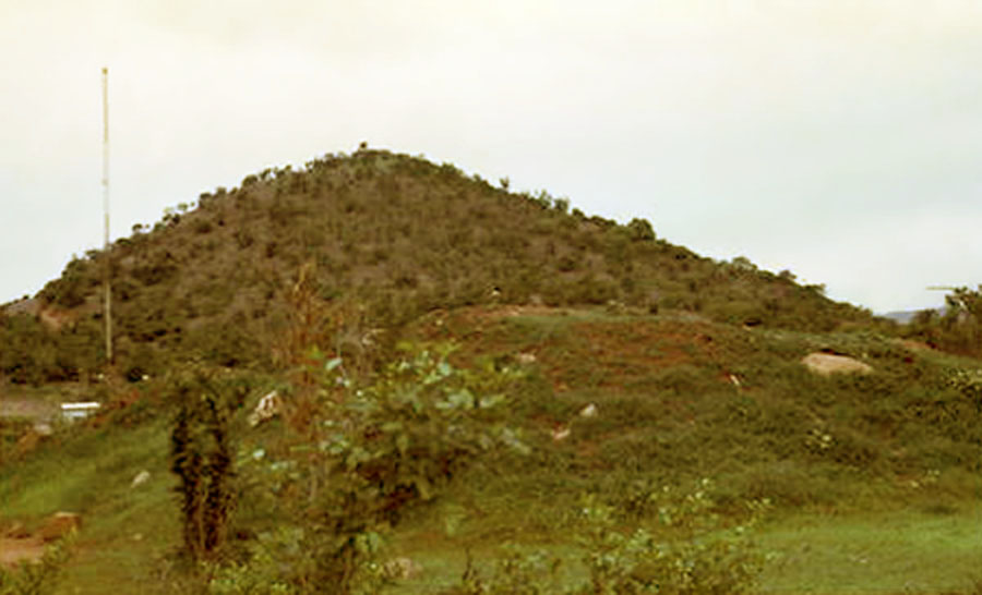 6. Nui Dat hill, as viewed from base area below. Photo by Stan Reeves, ND 1967. |
||
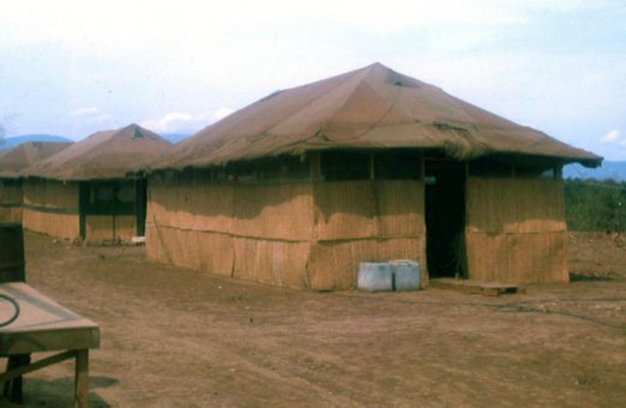 7. Nui Dat: 35th SPS tent-huts 1967, and prior to the barracks construction. Photo by Stan Reeves, ND 1967. |
||
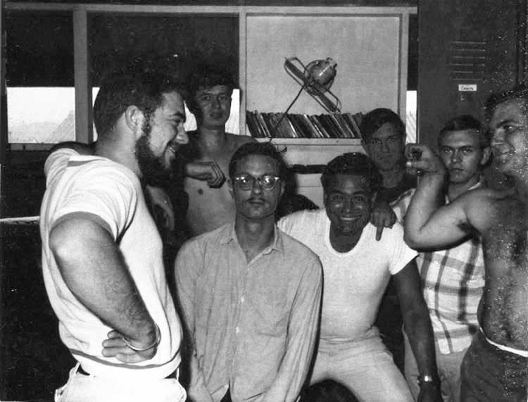 8. Nui Dat: 35th SPS tent-huts 1967. Seems that group pictures generally had someone flipping the bird. In this case, the guy in the pladd shirt is yours truly. Photo by Stan Reeves, ND 1967. |
||
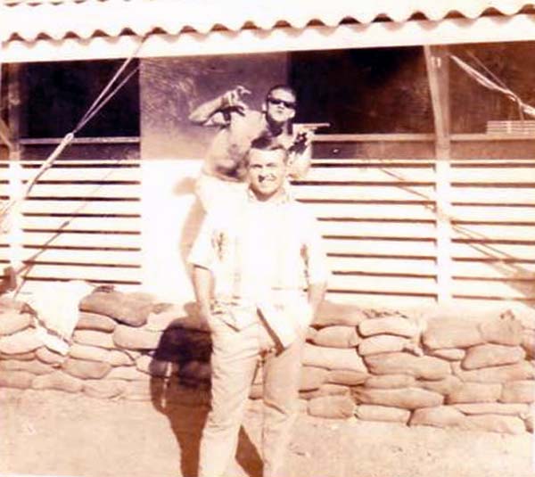 9. Nui Dat: 35th SPS barracks construction began. Photo by Stan Reeves, ND 1967. |
||
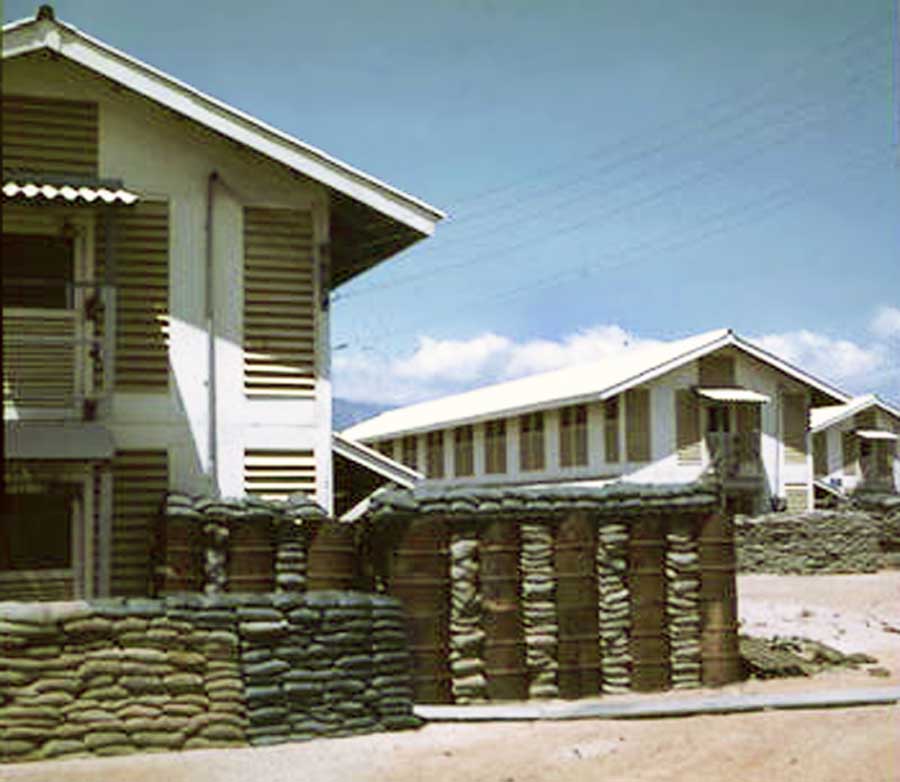 10. Nui Dat: 35th SPS. With barracks construction, followed sandbag detail and bunkers. I wonder what the barrels had contained? Photo by Stan Reeves, ND 1967. |
||
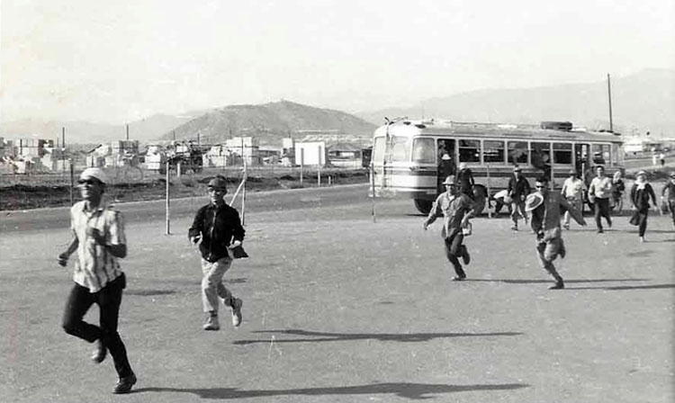 11. Nui Dat: Civilian Vietnamese workers running to work frombus. Photo by Dana Anthony, ND 1969. |
||
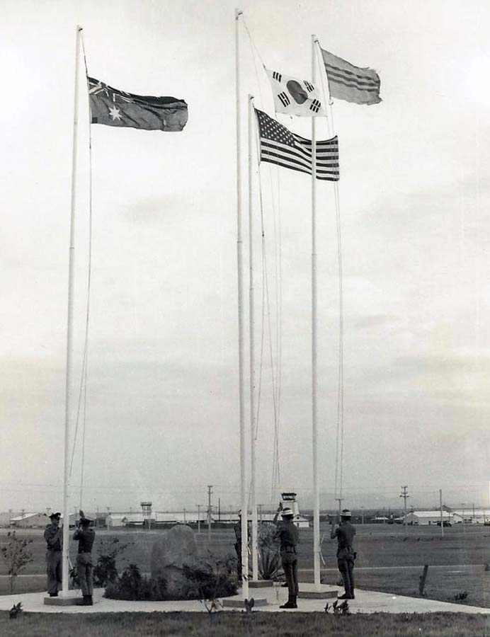 12. Nui Dat: Australian Base. Allied troops raise national flags. Photo by Dana Anthony, ND 1969. |
||
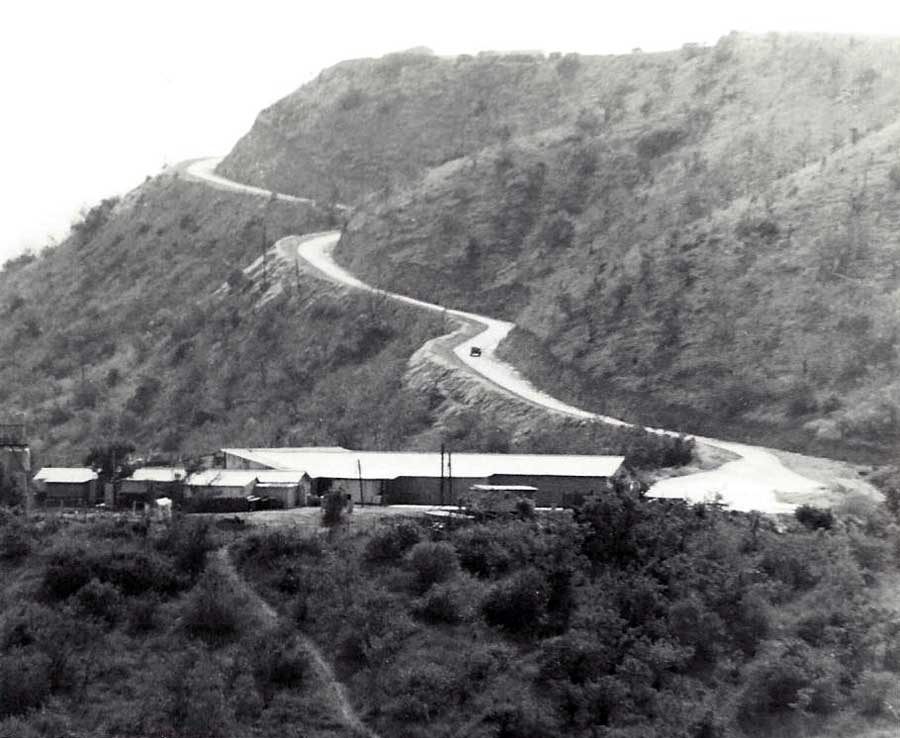 13. Nui Dat hill: Initial dirt road paved and handled large trucks passing without a problem. Photo by Dana Anthony, ND 1969. |
||
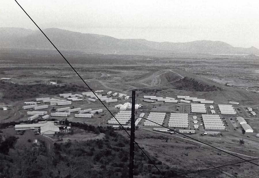 14. Nui Dat hill: View from hill of barracks below. Photo by Dana Anthony, ND 1969. |
||
 15. Nui Dat hill: Composite photo from Nui Dat hilltop. Photo by Dana Anthony, ND 1969. |
||
© Vietnam Security Police Association, Inc. (USAF) 1995-2018. All Rights Reserved.
|
||