| VIETNAM
Tan Son Nhut Air Base: O-51 Bunker, Satellite and K-9 Posts Map Photos |
||
|---|---|---|
Satellite of
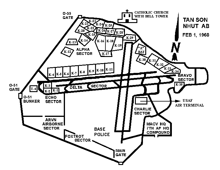 TSN AB, O51 Bunker Map, K9 Posts. TSN AB, O51 Bunker Map, K9 Posts. | ||
Satellite of
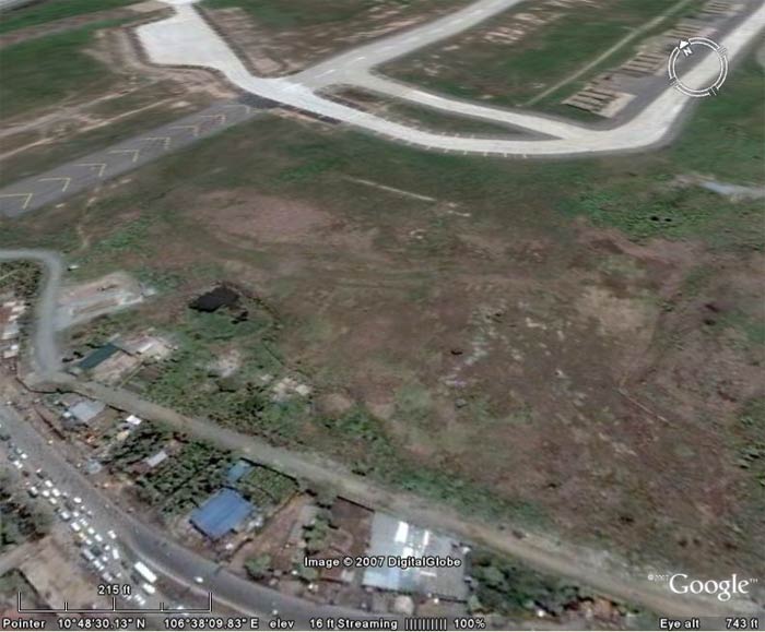 TSN AB, O51 Bunker, viewing N/E at 743 feet altitude. TSN AB, O51 Bunker, viewing N/E at 743 feet altitude. | ||
Satellite of
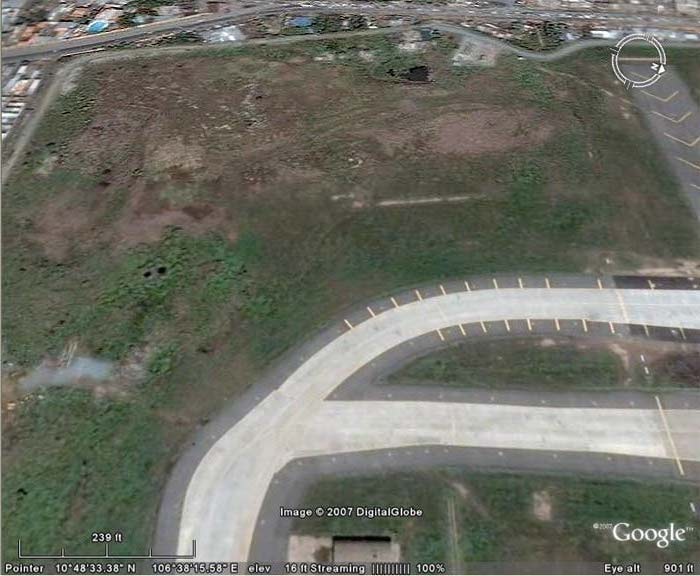 TSN AB, O51 Bunker, viewing West at 901 feet altitude. TSN AB, O51 Bunker, viewing West at 901 feet altitude. | ||
Satellite of
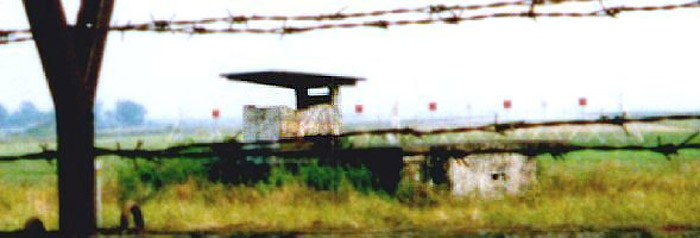 TSN AB, O51 Bunker Photo. TSN AB, O51 Bunker Photo. | ||
|
O51 Bunker Map Location O51 Bunker Satellite photo
|
||