| VIETNAM Tuy Hoa Air Base: Satellite Photos |
||
|---|---|---|
|
Satellite of
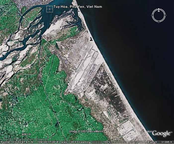 Tuy Hoa AB, imaged Fly Over at 31,395 feet altitude. Tuy Hoa AB, imaged Fly Over at 31,395 feet altitude. | ||
|
Satellite of
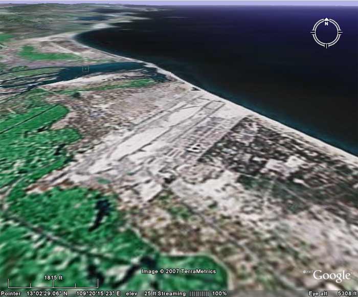 Tuy Hoa AB, imaged/angled North at 5,308 feet altitude. Tuy Hoa AB, imaged/angled North at 5,308 feet altitude. | ||
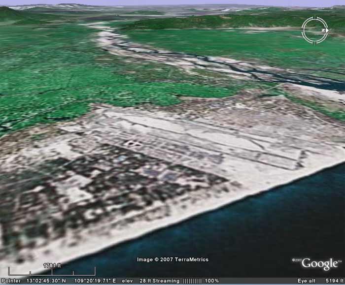
Satellite of
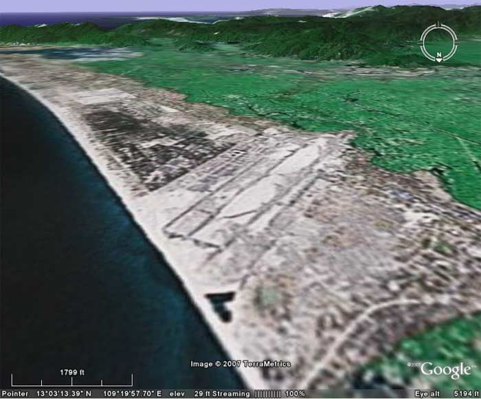 Tuy Hoa AB, imaged/angled South at 5,194 feet altitude. Tuy Hoa AB, imaged/angled South at 5,194 feet altitude. | ||
Satellite of
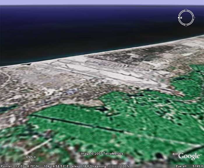 Tuy Hoa AB, imaged/angled East at 5,195 feet altitude. Tuy Hoa AB, imaged/angled East at 5,195 feet altitude. | ||
Satellite of
 Tuy Hoa AB, imaged/angled West at 5,194 feet altitude. Tuy Hoa AB, imaged/angled West at 5,194 feet altitude. | ||
|
|
||